cnHeat
Radio Frequency Planning, Predictions, and Covered Buildings Analysis for Fixed Wireless
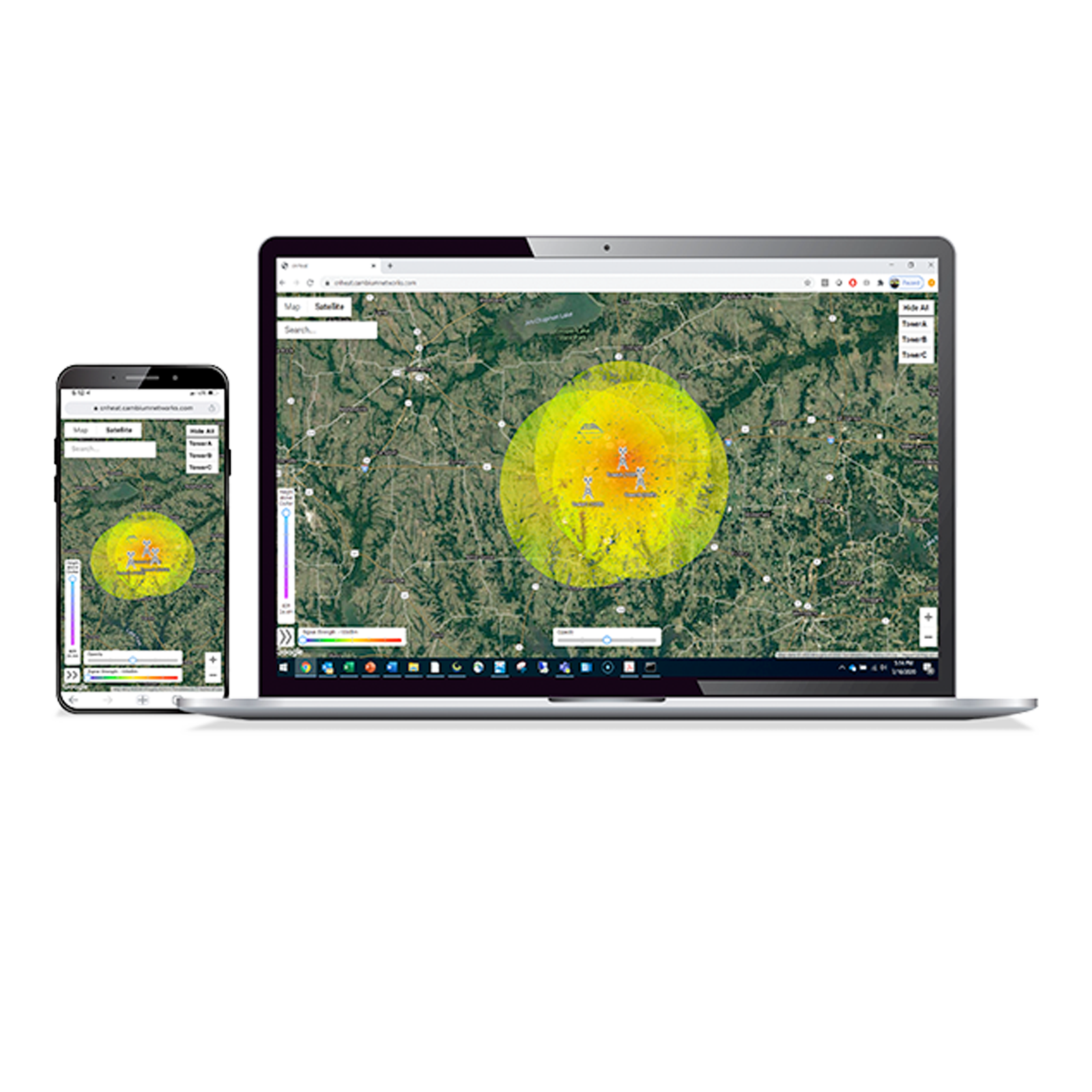
Built upon Cambium Networks’ expertise in fixed wireless Radio Frequency (RF) planning, propagation, and modeling as seen in LINKPlanner and integrated with GIS data down to one-meter precision, cnHeat allows the user to generate highly accurate RF predictions and derivative services that accurately represent the reality of the RF world. cnHeat provides the user the ability to specify the exact location of the site (latitude / longitude) and the APs that are part of the site. For each AP the user configures specifics such as height, frequency, antenna used, and SM gain used. cnHeat RF planning predictions allow the user to see both LOS or NLOS coverage in a 3D view (Any height between 0’ and 80’ can be shown). Predictions can be relative to the ground or to the height of the tallest item of clutter. cnHeat Identify finds all the buildings at a site that meet coverage requirements of minimum RSSI and height above the roof or height above the ground. This building information is provided to the user so that they can be used to market to the buildings. cnHeat IDENTIFY can be ordered only for active cnHeat LOCATE (heatmap) subscriptions.
- Best-in-class RF Prediction Software: Provides a customer prequalification view with resolution down to one meter covering a site radius of up to twelve miles and an install height slider from 0 ft to 80 ft.
- LOS / NLOS propagation model: Accurate predictions of coverage behind trees and buildings for all your prediction needs.
- Ease of Use: Customer service representatives can find the best place to install on any property (latitude, longitude, and height) in seconds.
- Operational savings: Improve successful install times and avoid failed installs.

